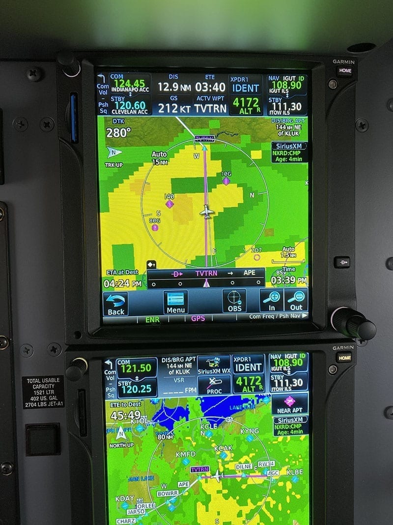
What Nexrad can—and can’t—tell pilots
Weather GeekHaving near real time Nexrad weather radar display in the cockpit has changed the way many of us fly more than any technology I can think of since the introduction of GPS. But that Nexrad image is not an absolute guide. There are no signs pointing “go here” but “don’t go there.” The Nexrad radar image demands interpretation by pilots.
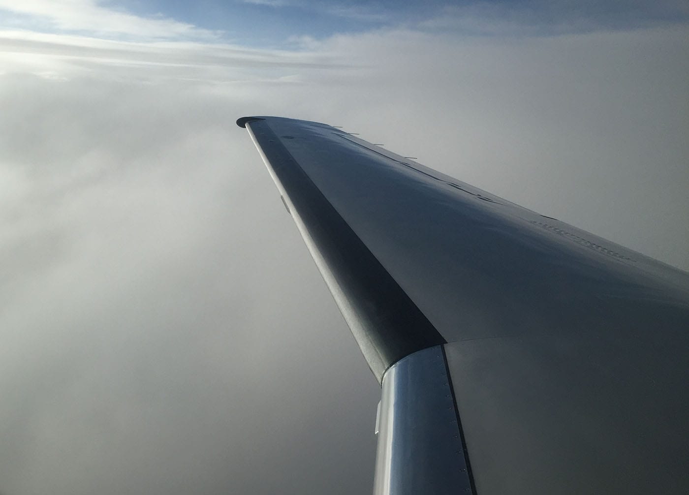
Is that airframe icing or snow?
Weather GeekYou're flying in visible moisture with the air temperature below freezing and you notice something building up on the leading edge of the wings. Is that airframe icing? What you see collecting on the wing leading edges in a cold cloud could be airframe icing, or it could be snow. Icing is bad, maybe very bad, but snow isn’t much of a problem. How do you know the difference?

The two rules of weather flying
Weather GeekIt’s when you start to plan longer trips, over several hours or several days, that you develop a deeper understanding of how to navigate the atmosphere. And for me there are two principles that guide my thinking on these journeys: the weather will always change; and, it’s always scarier on the computer screen!

How dynamics and thermodynamics create weather
Weather GeekAs a pilot, you know that the atmosphere is constantly evolving. The changes in precipitation, cloud types, and hazards you see all link back to changes in temperature, pressure, and forces. Understanding weather means understanding the two main meteorological processes behind weather changes: dynamics and thermodynamics.

How to use a Skew-T Log-P diagram
Weather GeekWhether you're a high or low altitude pilot, you can see how the temperature and amount of moisture in the air changes as you rise and descend through the atmosphere. How can we better understand these vertical changes to improve weather safety and awareness? Let's get acquainted with a meteorological diagram called a Skew-T Log-P.

The area forecast is going away – here’s why that’s bad news
Weather GeekRumors have swirled for years, but now it’s really happening: the text-based Area Forecast (FA) will officially disappear on October 10, 2017, to be replaced by the Graphical Forecast for Aviation (GFA). On the surface, this seems like an inevitable step in the transition from coded text products to graphical, interactive weather maps. But before we relegate the FA to the dustbin of history, we should consider a few important details. This transition may not be quite so innocuous.

Deep dark weather secrets about fog are really no mystery
Weather GeekIt’s not accurate to say that Mother Nature keeps secrets. However, it is spot on to say that Mother Nature harbors all manner of surprises for pilots who fly on without making an effort to develop some personal weather wisdom. One key is in understanding that what you see and feel is what you get, regardless of what is forecast.
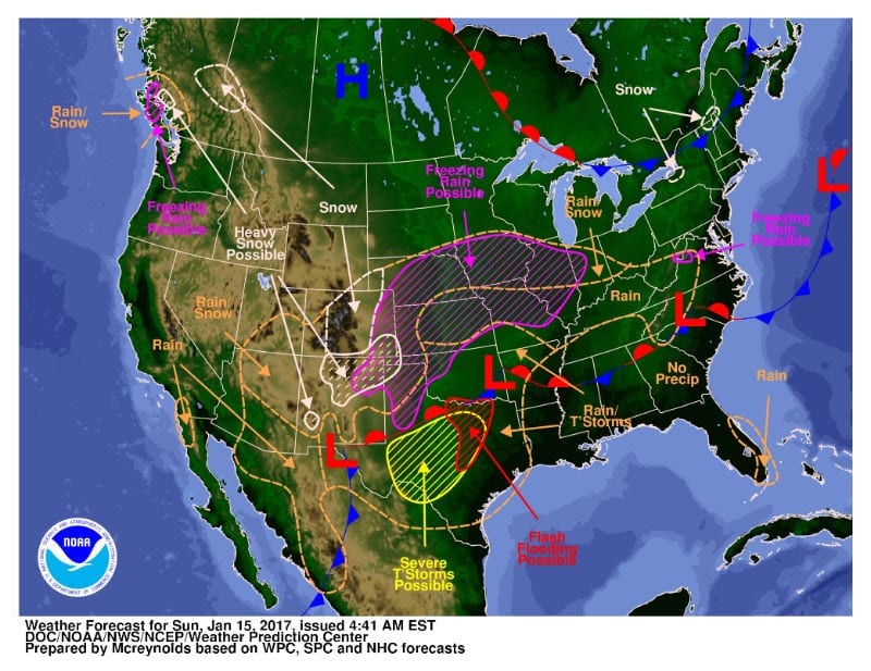
Weather forecasts – there’s more to it than just charts
Weather GeekOn two recent occasions, I have spent my day staring down FAR 121.613. Both cases required a more in-depth study of the day’s weather than a simple scan of the TAF. Regardless of which part of the FARs you are operating under, the area forecast discussions put out by local forecasters are incredibly valuable when preparing for a day’s flying. They will give you the feel of a personal briefing.

In-flight icing’s hidden threat: the landing flare
Weather GeekFollowing uncontrolled collisions with the ground, hard landings are the second most prevalent outcome attributable to structural icing. Unlike the uncontrolled collision data, hard landing events are generally well documented; almost no one is fatally injured, and the sequence of events and aircraft response is pretty easy to map out. This set of data may give us a window into an obscure and overlooked aspect of aerodynamic icing… drag rise as a function of angle of attack.

10 ways to get a good weather briefing in a world of information overload
Weather GeekTechnology has taken a lot of the mystery out of weather forecasting, filling in the gaps with more precise, more accurate and more comprehensive information. Given this embarrassment of riches, it's tempting to simply consume weather reports without thinking about them: "the TAF says it'll be good, so we're going!" That's a dangerous mindset.

Area Forecast replacement – what does it really say?
Weather GeekThe old Area Forecast (FA) is going away, and I for one say good riddance. This textual forecast product has plenty of valuable information, but its ALL CAP format is a leftover from a previous era, making it a pain to use. Besides, almost everything in the FA can be found elsewhere these days. Everything, that is, except cloud top forecasts.

Icing: the cold, hard (air) facts
Weather GeekThere is a saying that goes, “In aviation there are three kinds of ice: good, bad, and hazardous. The good ice is found in the galley.” Most of us are not flying airplanes with galleys, but you get the point. So any ice on the outside of an aircraft is either bad or downright hazardous. Here's how to avoid it - no matter what time of year it is.

Long range weather planning tools – 4 favorites
Weather GeekAll of us spend a lot of time poring over radar images, METARs and TAFs. But the focus is almost always on the short term weather products: can I fly right now? However, with some upgraded apps and websites becoming publicly available, there are more options than ever for long range weather planning. Here are four favorites.

Using historical weather data to learn
Weather GeekAs pilots, we spend a lot of time reviewing the weather before a flight--you might even say some pilots obsess about it. But very few pilots spend any time looking at the weather after a flight. That's a shame, because there's much to learn from a post-flight analysis and there are some new tools that make it quite easy.
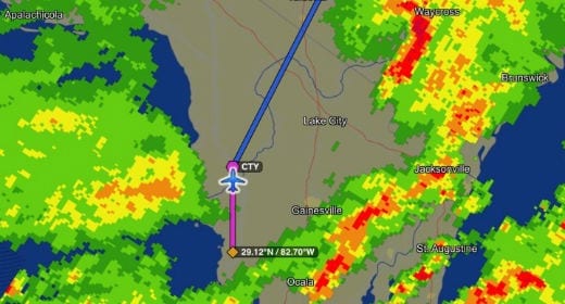
Thunderstorm flying in the age of datalink weather
Weather GeekDatalink radar or onboard radar? XM or ADS-B? Panel mount display or iPad? The options for receiving and viewing in-flight weather have never been greater, with a proliferation of affordable and capable avionics. Which one is best? And what's the right way to use each tool?
7-day VFR cross country weather planning
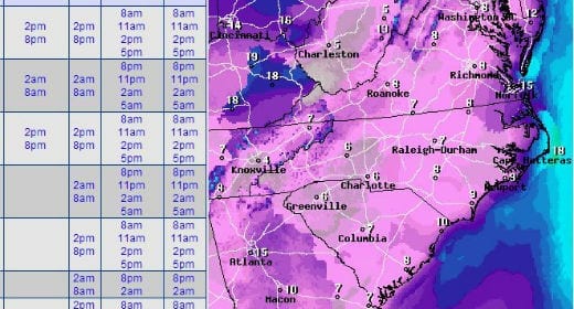
Weather GeekIn the past two years we have completed a long VFR trip successfully five times. How have we done so well on such a long trip VFR when the weather is so unpredictable? We have a multi-level system and we follow it. It is not perfect but it works.
Top tip: get a “big picture” weather briefing
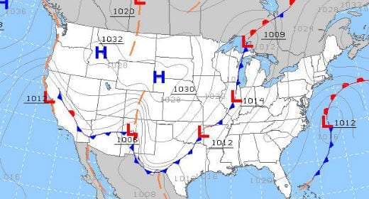
Weather GeekChecking the weather is one of the few constants in aviation. Pilots of all experience levels do it, whether it's a trip around the pattern in a Cub or a trip across the Atlantic in a Gulfstream. But how do you get a good weather briefing? Is a look at the current METAR enough?

Weather.aero – a valuable new aviation weather website
Weather GeekImagine a weather website just for pilots with a variety of useful tools and some nice graphical weather charts. Imagine this website is free and provided by the US government. Now imagine (most shocking of all) that this website is actually attractive, well-designed and easy to use. It's here.
10 great online weather tools you may not know about
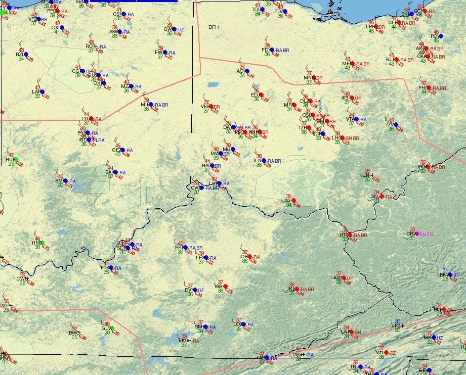
Weather GeekFor true weather geeks, a pre-flight weather briefing can be a lot of fun, not just a requirement to be completed as quickly as possible. Everyone has their list of favorite weather sites, but here is my top 10 list of useful weather websites that aren't as well known as they should be.

A what? An exciting bit of weather action
Weather GeekI don’t spend much time watching TV news but my wife keeps it playing at times. I kept overhearing a new word (to me) after the June 29th storm that turned out lights from the middle west to the East Coast. The word sounded to me like “deratio” but Wikipedia lists “de-ray-cho” as the correct pronunciation.
