|
Getting your Trinity Audio player ready...
|
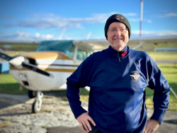
This Odyssean flight is a pathfinder mission that takes us from Ottawa, Canada’s capital city, to the easternmost part of the continent in Newfoundland, where the cold North Atlantic breaks its swells. We plan for five legs there and five legs back. My crewmate, Don Faubert, an IFR pilot too, is a good friend of mine; Don and I are always in sync when it comes to pilot decision-making, where safety is the primary backdrop on every stage.
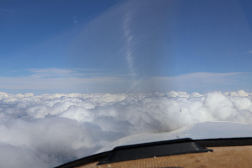
Flying over mountain obscuration.
The flight begins on July 5, 2025, and covers almost 1,300 nautical miles to get there before turning around and doing it all over again. The entire route is just as long as crossing the continental United States. The platform is an IFR-equipped 1968 PA-28-180C Piper Cherokee. This normally aspirated conveyance seeks aviation gas at reasonable intervals, but Jet-A propellant is what’s most often on tap “up north.” Precious fuel is in scarce supply. At times, radar and communications coverage do not exist. The weather is unpredictable; it’s where the goliaths of maritime arctic and maritime tropical air masses clash; it’s where warm fronts and cold fronts collide in the maelstrom of Coriolis agitation, and sea breezes blow furiously through gradients of tightly bound isobars.
The province of Newfoundland and Labrador is deemed mountainous terrain, where the Long Range, Mealy, and Torngat mountain ranges penetrate the clouds. They force small planes into higher altitudes, where light craft suffer diminishing returns of available power as they climb closer toward their service ceiling. Mountain obscuration and unstable air pose significant hazards. Advection and upslope fog and arctic sea smoke are the most popular “pantry items” off the Grand Banks shelf, where the frigid Labrador Current sits at the kitchen table facing the warm, moist air of the Gulf Stream. GFAs, TAFs, METARs, PIREPs, surface weather charts, significant weather prognostic charts, and winds and temperatures aloft reports are on a pilot’s menu, but offer wary reassurance when dining companions are so disruptive. We ask for “recommendations” from the professionals at Nav Canada’s flight information centres before launch. Despite careful analysis, meteorology is imperfect. Mother Nature is always the final arbiter; to question her behavior in the troposphere’s scullery, we speak to weather briefers en route, who might suggest a more comfortable place setting through the maze of weather-ware and their shifting placements. In order to reach a specialist when airborne, we must use remote communications outlets and extended-range frequencies sprinkled on the Canada and North Atlantic LO chart like scattered pepperoni on a sparsely topped pizza.
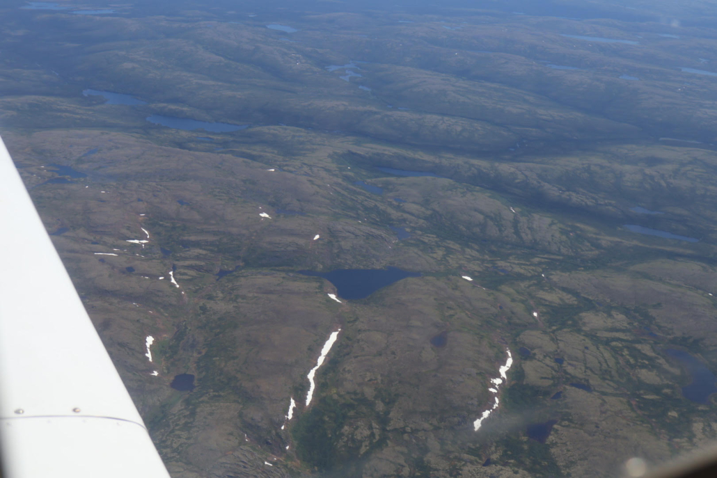
Summer snow in the Labrador tundra.
We fuel up in Sept-Îles, Québec, and file our third and most treacherous IFR nav-log for the day, which stretches over one of the most sparsely populated regions on the planet. The flight plan on request is like an invitation we create to a dinner party of our choosing, with an arrival time at our convenience—but with one additional overarching benefit: if your RSVP is accepted and you don’t show up to the event, the host knows who you are and goes looking for you. Our clearance is as filed: a straight-line uncontrolled RNAV L-route northeast to Goose Bay (CYYR), one of only three airports in Newfoundland and Labrador that regularly sells 100LL gas. The terrain is inhospitable and uninhabited. Systems checks are crisp, constant, and careful; preventing an uncommanded engine rollback is always top-of-mind. Forced landing options call for gliding over scattered bogs or fens, which serve as the boreal forest’s natural arrestor cables. Better this than crashing through black spruce and trembling aspen, or touching down on Precambrian rock formations.
About halfway there, Montreal Centre informs us that we will lose communications in 20 miles; military terminal control will be in range 80 miles out from Goose Bay. We feel helpless in this “dead” zone, but ATC provides a solution. There’s an American airliner 30,000 feet somewhere overhead that can act as a low-level communications satellite. The airline crew relays messages with an unimpeded connection between Montreal and our transceiver. I make one search-and-rescue position report when over ALKOB, the only halfway reporting point en route. Message is received and acknowledged. I thank the airline pilot for his help and wonder what he is thinking.
In Labrador, controlled airspace is centred mainly around Goose Bay, an RCAF base that is a training centre for NATO air forces and home to Canada’s 5 Wing squadron, a defender of North American territory. In World War II, Goose Bay was the largest allied airfield in the western hemisphere for staging warplanes flying to Great Britain. It now allows civilian aircraft to use the airport, too. Over the eastern bays of Newfoundland, where Atlantic waters funnel in, are the jumping-off routes for transoceanic flights to Europe, with springboards like TUDEP, IBERG, and JOOPY. They’re not on our IFR playlist, but we can dream.
We stay an extra night in Goose Bay and visit the Labrador Military Museum. There’s a sobering map dotted with red spots marking crashes around the area in times of war—training accidents, but mostly hostile weather took their toll, cutting short the young lives of the brave souls fighting for our freedom. Bless them all. We honour them by remembering. We’re airborne the next day, cruising southeast towards the narrows of the Strait of Belle Isle, which serves as the venturi between the Gulf of St. Lawrence and the Labrador Sea, our crossover to the island of Newfoundland. At our cruising altitude, the outside air temperature is close to 0 degrees Celsius; a touch of cabin heat takes the chill off. We see no icebergs, but rather clean white “summer” snow wedged in deep crevices scratched into the Labrador tundra. The only airborne companions are seabirds such as razorbills, northern gannets, and great shearwaters. We hear radio calls from a turbine-powered PC-12 medevac making its way to a remote outport on the north shore of the Gaspé Peninsula. Over the island, we head to Deer Lake (CYDF) for fuel. Gander is preferred, but avgas is unavailable. Gander (CYQX) is historically famous. In the last great war, it was the largest aerodrome in the world, serving as a refueling and maintenance hub for allied air forces going to the European theatre.
Gander Centre controls our flight to St. John’s, a city that sparks a theological fact: St. John the Apostle is the patron saint of love, loyalty, and friendship. These traits are apropos for the controllers, airport staff, military personnel, and aviation community who go out of their way to be hospitable, kind, and helpful—characteristics well known in this part of the country. Courtesy is a contagion of the people here. Our American friends remember the generosity of Gander’s residents, who welcomed stranded airliners in the wake of 9/11 in 2001 and unselfishly opened their homes to thousands of passengers when America was under attack. There is never a moment in our flight when a request to avoid buildups isn’t granted from ATC; unprompted suggestions for a smoother altitude or weather-avoidance vectors are their typical behaviour. Perhaps Saint John, New Brunswick, and St. John’s, Newfoundland, cities in the Atlantic Provinces, are namesakes of the eminent apostle because their citizens embrace his humanitarian values.
As we cross the island’s vast landmass, heading closer toward the influence of an oceanic climate, the weather becomes menacing. This is the climbing wall we must pass, where heat-infused updrafts are fed by the sea’s moisture-laden air. We are unable to outclimb the mushrooming pall that emerges from the haze. One rising nimbus morphs into another by shedding roiling bodies in coppice-like growths across our track. We elect to deviate here and there from our flight-plan route, with grants from the controller to climb or descend at our discretion. We weave and bob like prize fighters avoiding the onslaught of blows. The moment is tense.
 Over the Avalon Peninsula, we request an over-ocean transition for the RNAV Z Runway 28 approach at St. John’s (CYYT); it minimizes our exposure to unstable air and the flak of unfriendly cumulus. The ocean is at once deadly and comforting; its surface is gentle today, hypnotic in a way that presents uniformity in a cool, stable airmass. Many IFR pilots experience an epiphany when they break through the overcast and see a runway lined up ahead like the open arms of a warm embrace.
Our autopilot follows the plate’s procedure flawlessly, with some light persuasion of throttle and a trim of pitch to nuance the step-down and capture the glidepath. I love most of all the automatic gentle-turn command from the flight director as the plane dutifully rolls into the final approach course at the intermediate waypoint; this invisible marker in space brushes by like an ephemeral being while silent but eloquent machine language between satellites and the onboard navigator guides the plane home. When tower clears us to land, we feel a heartfelt welcome and camaraderie, much like homecoming seafarers returning to the safe harbour of patron saints.
- St. John’s Patronage: An IFR Odyssey to Newfoundland - October 10, 2025

Leave a Reply
Want to join the discussion?Feel free to contribute!