|
Getting your Trinity Audio player ready...
|

It was a crisp November morning in the Philippines, the kind where the air feels charged and the sky stretches endlessly. I had planned a short cross-country flight from Ninoy Aquino International Airport (RPLL) in Manila to Bohol-Panglao International Airport (RPSP) on Panglao Island—a route I’d flown a dozen times before. Charlie, my well-worn but dependable Cessna 172 Skyhawk, was fueled and ready. The forecast called for clear skies, but in the tropics, that promise can be short-lived.
Pre-Flight: The Calm Before the Clouds
I arrived at Manila Aviation Services early, just as the sun peeked over the horizon. The air was cool, laced with the scent of aviation fuel and salt from nearby Manila Bay. I completed my pre-flight inspection with the usual care—fuel levels, oil, control surfaces. Charlie was in good shape, as always.
Inside the FBO, I grabbed a cup of coffee and checked the weather briefing one last time. The METAR and TAF showed CAVOK along most of the route, with a mention of scattered clouds near Bohol by late morning. Winds aloft were light and variable—ideal for a smooth cruise. I filed my flight plan and headed out.
Taxiing to Runway 06, I ran through the before-takeoff checklist: fuel selector both, flaps up, mixture rich, lights on. With takeoff clearance from the tower, I pushed the throttle forward. The engine responded smoothly, and Charlie lifted off into the calm morning sky.
The First Leg: Smooth Sailing
The first leg was uneventful—in the best way. I climbed to 5,500 feet and leveled off. Below me stretched a patchwork of rice fields, coconut groves, and coastal villages. The air was smooth, the engine humming steadily, and that familiar sense of freedom settled in.
I tuned the Manila VOR to confirm my position and set up the next waypoint. About halfway to Bohol, I noticed a thin layer of clouds forming ahead. They were scattered at first, wispy and benign. But as I flew closer, they began to thicken. I considered descending beneath them, but the buildup appeared to extend lower than expected.
Instead, I decided to climb. At 7,000 feet, I broke through the tops and leveled just above a white, sunlit blanket stretching to the horizon. It was breathtaking—but also disorienting. With no ground reference, that sense of visual comfort faded. I reminded myself this was what the instrument rating was for. I focused on the panel: attitude indicator, heading indicator, altimeter. Trust the tools.
The first leg was uneventful—in the best way.
The Challenge: Trusting the Instruments
“Cessna 123AB, we’re showing a band of weather moving into your area,” came the call from Manila Control. “Recommend descending to 4,000 feet for clearer conditions.”
I acknowledged and began a gentle descent. As I re-entered the clouds, turbulence increased. Within seconds, I felt it: that creeping disorientation, the kind that plays tricks on your body. My senses insisted the plane was banking right—but the attitude indicator showed wings level.
I paused. My hand hovered near the yoke, ready to react, but I didn’t. I focused on the panel and resisted the urge to “fix” what wasn’t broken. The instruments told the truth. My instincts didn’t.
It was a humbling few minutes. The turbulence wasn’t extreme—light to moderate—but inside that gray cocoon, time slowed. I locked into a steady scan: attitude, altimeter, turn coordinator, back to heading. I was drifting slightly off course—nothing major, just a few degrees—so I corrected and held.
Eventually, the clouds began to thin. At 4,000 feet, the world reappeared. The water below sparkled in the late morning sun, and the green hills of Bohol came into view. I exhaled.
Post-Flight: Lessons Learned
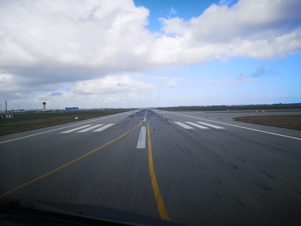
I checked in with Bohol Approach, received vectors for the field, and joined the pattern in VMC. The landing was smooth, and after shutting down on the ramp, I sat for a moment in the quiet cockpit. What had started as a routine VFR hop had turned into a real-world test of discipline and trust.
That flight reinforced a lesson I thought I already knew: the instruments are your lifeline. No matter how strong the urge, don’t let your instincts override your training. Spatial disorientation is subtle, sneaky—and real. But the panel doesn’t lie.
Flying is a constant learning experience. No matter how many hours you log, there’s always something new to discover—about your aircraft, the weather, or yourself. That day, I learned that trust, once again.
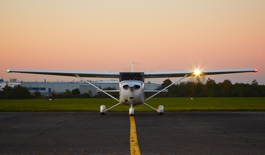
As I walked away from Charlie, I couldn’t help but smile. Another flight behind us. Another lesson logged. And already, I was looking forward to the next one.
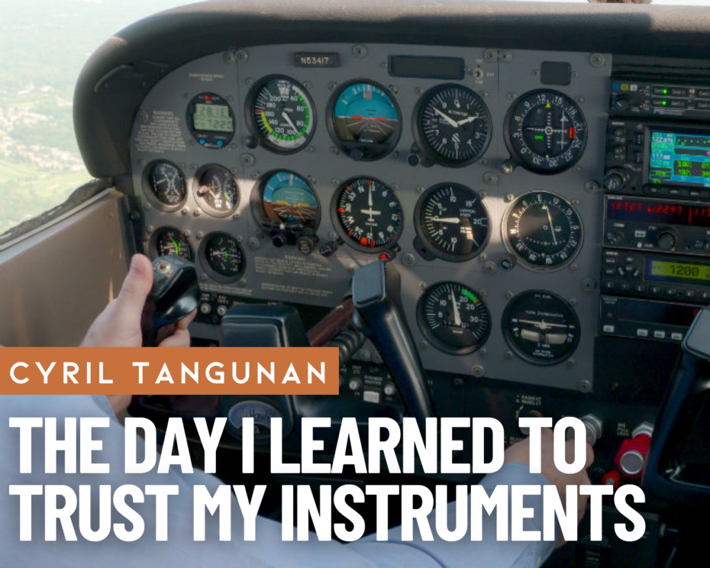
- The Day I Learned to Trust My Instruments - June 4, 2025


I’m struggling with whether or not to pursue my instrument rating – at nearly 70, I’m not sure I’ll be flying long enough to get a return on the investment – if I pass. But your story helps tip me toward the training, even if I don’t pass the final. It could save my life. Even though it will cost thousands of dollars, that’s a small price to pay to get home to bride and grandkids.
I got my instrument rating just one month before I turned 70. I’ve been flying in the SW of US for almost 30 years (far west Texas). For couple decades, my thought was “I don’t need notstickin’ IFR rating out here in the SW”. Virtually every instrument pilot I knew out here wasn’t even current. IFR out here is dust or Thunderstorms. I had no plans to fly in either. What tipped my decision to pursue IFR rating was I got stuck down in San Antonio for a solid week due to a persistent 500-1000 foot thick cloud layer with bases about 1200 AGL. A 6-800 foot higher terrain to the west prevented my IFR departure. Two minutes in the clouds was all it would have taken to get on top of layer with CAVU for 500 miles in all directions. For the past 5 years, I have been diligent in maintaining my IFR currency using triple to quadruple amount of required approach procedures….just in case what else are you going to do after eating your $155 hamburger. Just a couple of months ago, I was returning my plane from resort town about an hour flight north of El Paso. I “had” to get my plane out of the mountains due to forecasted 40-60kts winds coming and get plane back into my hangar. Weather at departure and arrival airports was tolerably with-in my limits when I departed only to encounter during the return flight unforcasted gusty winds, turbulence and dust…lots of dust kicked up. I could see outside just fine…. but all I could see was cafe-au-lait color to front, left, right, up and down….at least it was all consistent. Flew approach back into El Paso in IFR dust with 25-35 kt winds in my Kitfox just as any normal landing….no mess, no fuss….taxied to my hangar. Went home and had a nice beer.
Age doesn’t matter. Just get your IFR rating. There are several instrument rating courses available for few hundred dollars. I essentially went through my Martha/John King course 3 times, did all the sample tests three times and got a 94 on “written”. I flew almost 50 hours with an instructor learning all. I don’t regret even one hour. You CAN do it.
JUST DO IT!!! My only regret is not doing the course MUCH sooner.